Fieldnote — Regional Catalog Expansion
When I first built Fieldnote, the catalog had 50 plants that I curated by hand. I tried to capture a good variety, but if I’m honest, the selection skewed heavily toward the Northeast United States — the plants near where I lived at that time. Each one shipped with a custom illustration bundled into the app as an asset, plus photos I sourced from Unsplash.
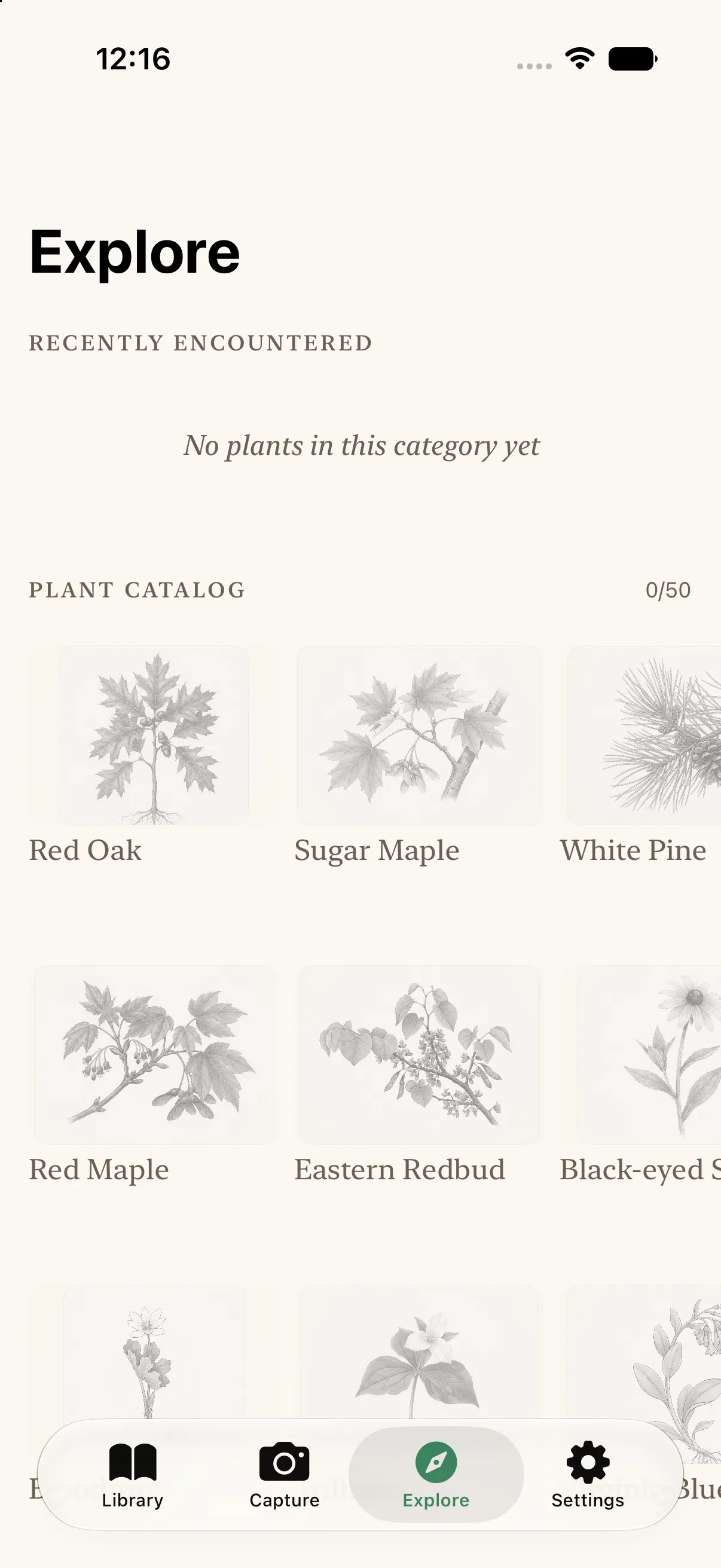
That worked as a starting point, but it’s a flawed design for an app about noticing the plants around you. Plants are intensely local. A user in Hawaii opening a catalog full of White Pine and Sugar Maple isn’t going to feel like the app was made for them — those species simply don’t grow there. Hawaii, California, and the Pacific Northwest have completely different climates and, therefore, completely different flora. A single fixed catalog can’t serve all of them.
So the new feature is a regional catalog: the user selects their region, and the catalog reshapes itself around what actually grows there. For now, I’ve limited it to eight U.S. regions — Northeast, California, Pacific Northwest, Hawaii, Florida, Texas, the Desert Southwest, and the Rocky Mountains — as a way to test whether the idea works before expanding internationally.
The interesting problem was where the data comes from. I can’t hand-author hundreds of plant records per region. The answer turned out to be the iNaturalist API: it can tell you the most commonly observed plants in a given area, ranked by real observation counts from actual people in the field. Each regional pack pulls the top species for that region, enriched with a summary, taxonomy (with family data filled in from GBIF), and a representative photo. The region’s catalog is what people actually report there — so a Northeast user still sees the familiar bundled plants, while a Desert Southwest user sees saguaro and creosote instead of conifers that would never survive there.
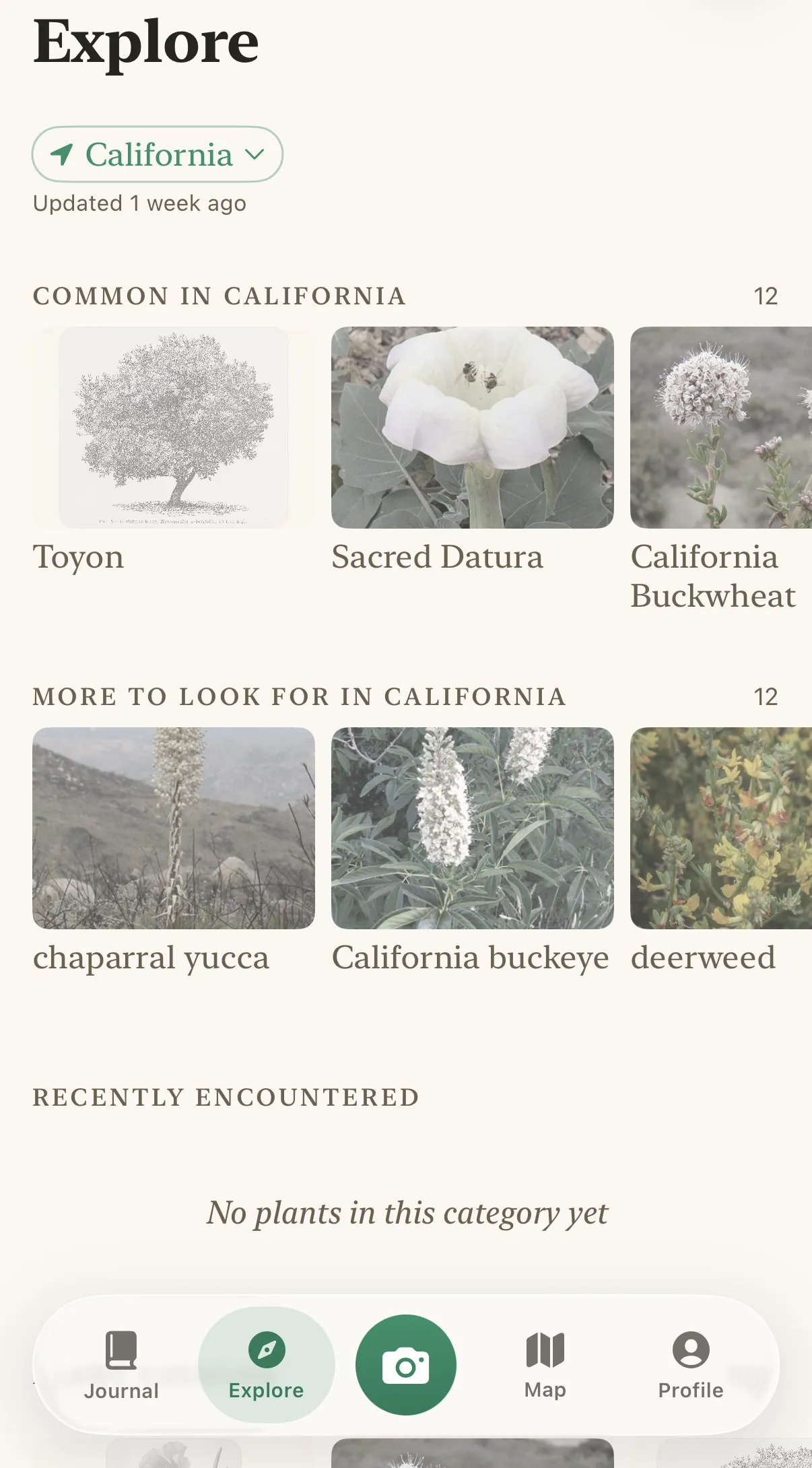
The other shift was in how I handle imagery. Bundling hand-made illustrations for every species in every region doesn’t scale. Instead, I source botanical illustrations from Wikimedia Commons — there’s a huge archive of public-domain botanical plates, many from 19th-century field guides, which are both legal to use and honestly more beautiful than anything I could commission. I built a small pipeline that searches Commons for each species, filters for public-domain plates, and integrates them into the app; the current build ships 97 of these. For species without a plate, the app falls back to iNaturalist photos, which are fine to use under their licenses as long as the attribution is displayed in the app — so every regional photo carries its credit.
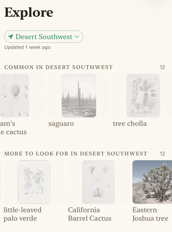
The result: instead of 50 plants for everyone, each region gets a catalog tailored to its own landscape, built from data about what people there actually encounter. Next up is expanding beyond the U.S.